
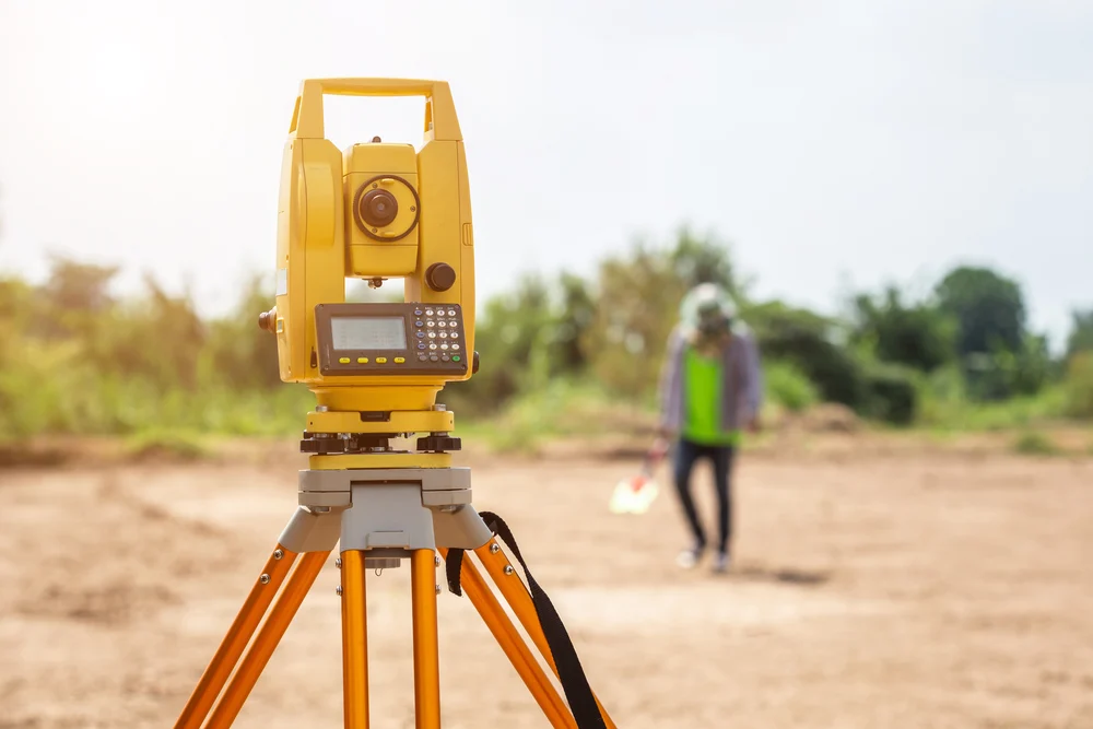
Land Survey
Land suoveying is the detailed study or inspection, as by gathering information through observations, measurements in the field and data analysis in the support of planning, designing, and establishing of property boundaries. Land survey involves measuring and mapping the land to determine its boundaries dimensions. & contours.

Road Survey
Road saney is to have detailed layout of road way, obsesvation of potholes, speed breakess & determination of loss of effective width at different locations Road survey provide invaluable informaton that assists authosities in making data - driven decisions regasing road conditions, maintenance priosities & safety enhancements.
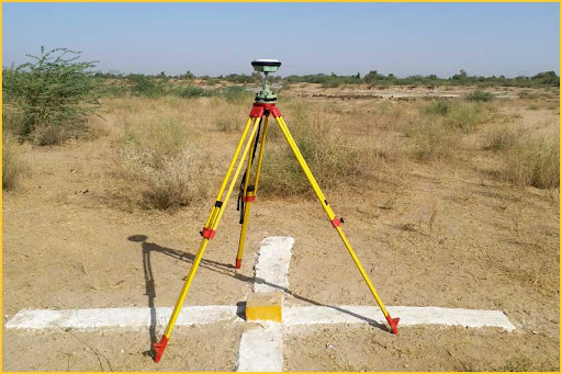
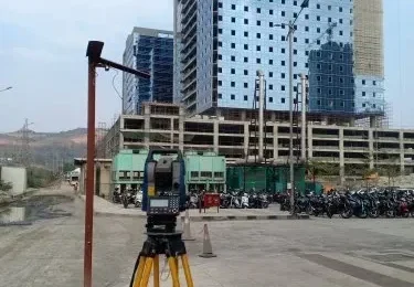
DGPS Survey
Differential Global positioning System (DGPS) is ao enhancement to Global positioning systems that provides improved location accuracy, from the 15 meter nominal GPS acusaly to about 10 cm in case of the best implementations. The base station reciever calculates its position based on setalite signals and compares this location to known location.
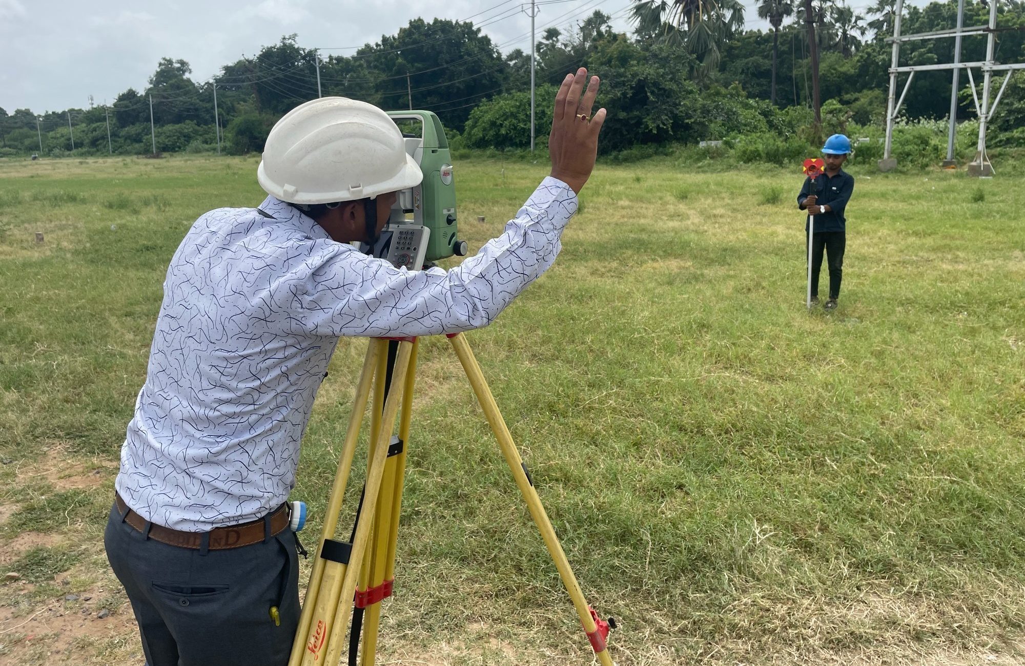
Layout Marking
A construction layout survey occurs when a contractor reviews building plan blueprint and marks specific locations on the ground with stakes to indicate each element of the building site
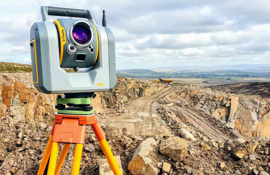
Topography Survey
Topographic sunying is the process of determinging the positions on the easth's surface of the natural and astificial features of a given locality and of determining the configuration of the tearin.
Facede Survey
Facade surveys are a Crucial aspect of building maintenance and managerent. helping ensure the safety, stability, thermal perfosmance and aesthetic appeal of a buildings exterior. Facade surveys ncluding cladding inspections are a caucial espect of building maintenance and management.
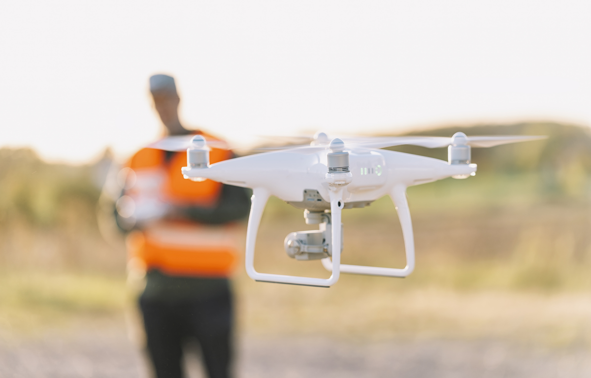
Drone Survey
Drone land surveying is the use of unmanned aerial vehicles (UAVs) to evaluate large plots of land. When equipped with high-tech, downward-facing sensors and cameras, a drone can quickly capture images and data on the terrain below it. Then, advanced mapping software processes the drone data and turns it into high-quality 3D maps and models that accurately represent the land’s geography and topography.